Zara Vogel · 7 September 2026
Volunteer Networks Transform Environmental Monitoring Practices in Fircrest
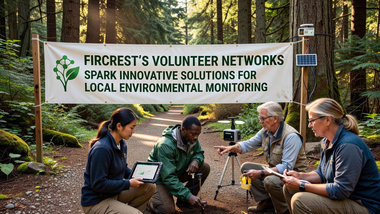
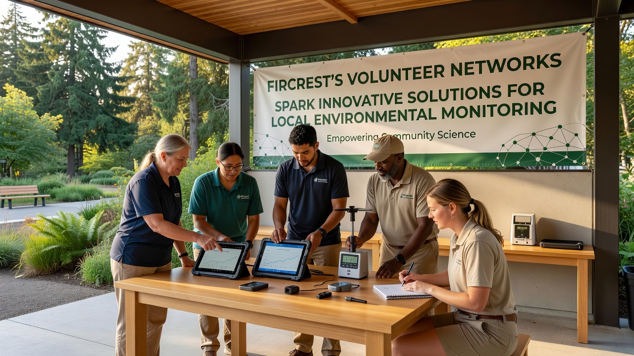
Volunteer networks across Fircrest have developed coordinated systems that combine citizen observations with portable sensor technology to track air quality, water conditions, and habitat changes in real time. These groups operate through scheduled field sessions and shared digital platforms where participants upload readings from handheld devices that measure parameters such as dissolved oxygen, particulate levels, and soil moisture. Data collected this way feeds into municipal databases that city planners consult when adjusting maintenance schedules for parks and stormwater systems.
Training programs run monthly at the community center, where experienced participants demonstrate calibration techniques for the sensors and explain how to log observations consistently. New volunteers learn to distinguish between natural seasonal variations and indicators that warrant further investigation, such as sudden spikes in turbidity after heavy rainfall. This approach has produced datasets spanning several years that researchers at regional universities now use to model microclimate shifts within the city limits.
Technology Integration and Data Sharing
Participants rely on low-cost IoT devices paired with open-source software that automatically timestamps and geolocates each measurement. The system allows multiple users to contribute simultaneously without overwriting earlier entries, which creates layered records that reveal daily and weekly patterns. Network coordinators review submissions weekly and flag any entries that fall outside expected ranges for verification during follow-up visits.
Partnerships with local schools have expanded the reach of these efforts, as students incorporate monitoring tasks into science projects that run throughout the academic year. Teachers report that the hands-on component helps students connect textbook concepts about ecosystems to measurable changes in their own neighborhoods. Data from these student-led sessions integrates into the same central repository used by adult volunteers, which broadens the temporal coverage of the records.
September 2026 Expansion Plans
Plans scheduled for September 2026 include deployment of additional solar-powered weather stations at three new sites near the western boundary of Fircrest. These stations will transmit readings every fifteen minutes to a public dashboard that residents can access without special accounts. Project leads have secured equipment grants from federal agencies that support community-based environmental projects, and installation crews expect to complete setup before the autumn rainy season begins.
Coordination meetings held in late summer 2026 will focus on standardizing protocols across neighboring communities so that data remains comparable when aggregated at the county level. Representatives from Fircrest will present summaries of their current sensor calibration methods and discuss adjustments needed to align with standards outlined by the Environmental Protection Agency. A second link to guidance from Environment and Climate Change Canada will provide additional benchmarks for humidity and precipitation tracking.
Observed Outcomes from Ongoing Monitoring
Records maintained since 2022 show consistent improvements in the detection of invasive plant species along trail corridors, which has allowed maintenance crews to target removal efforts more precisely. Volunteers also documented reductions in certain nutrient loads in two creeks after the city upgraded several stormwater filters, findings that matched independent laboratory tests conducted by county staff. These correlations have encouraged further investment in similar infrastructure upgrades at other locations.
Public access to the compiled datasets occurs through an online portal updated each quarter. Users can download raw files or view interactive maps that overlay volunteer readings with satellite imagery. The portal includes tutorials that explain how to interpret trends without specialized statistical training, which broadens participation among residents who want to contribute observations but lack formal scientific backgrounds.
Conclusion
Fircrest volunteer networks continue to refine their methods through regular feedback loops that incorporate input from both long-term participants and newcomers. The combination of accessible technology, structured training, and transparent data sharing has created a self-sustaining system that supplies actionable information to city departments and academic partners alike. As equipment expands in September 2026, the networks expect to generate even denser datasets that support more detailed analyses of local environmental conditions over time.